Document the common-area system
Mark main shutoffs, backflow preventers, controllers, meters, valve boxes, pumps, irrigation zones, drip lines, and lateral lines directly on a satellite map of the association.
HOA irrigation mapping
HOA common areas often depend on undocumented irrigation systems, old contractor memory, and scattered photos. MapMyWater gives the association a durable water-system record that survives board turnover, management changes, and landscape contract handoffs.
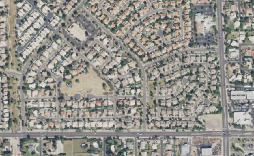
Mark main shutoffs, backflow preventers, controllers, meters, valve boxes, pumps, irrigation zones, drip lines, and lateral lines directly on a satellite map of the association.
Share a read-only map with board members and emergency contacts so they can see the system without gaining edit access or needing a login.
When a landscape contract changes hands, export a PDF, Word, Excel, or JSON backup so the map stays with the association instead of leaving with the prior vendor.
Yes. MapMyWater supports read-only share links so board members and emergency contacts can view the property map while editing remains controlled by the account owner.
Teams can map shutoffs, backflows, controllers, valve boxes, irrigation meters, pumps, main lines, lateral lines, drip lines, and irrigation zones.
No. It is a documentation tool. Always verify site conditions and call 811 before excavation or regulated utility work.