Map every critical asset
Place pins for main shutoffs, isolation valves, water meters, controllers, pumps, tanks, pressure regulators, backflow preventers, and other site-specific components.
Property water-system maps
A property water-system map should be more than a static drawing. MapMyWater turns each site into a working record with assets, photos, notes, status, exportable reports, and read-only handoffs.
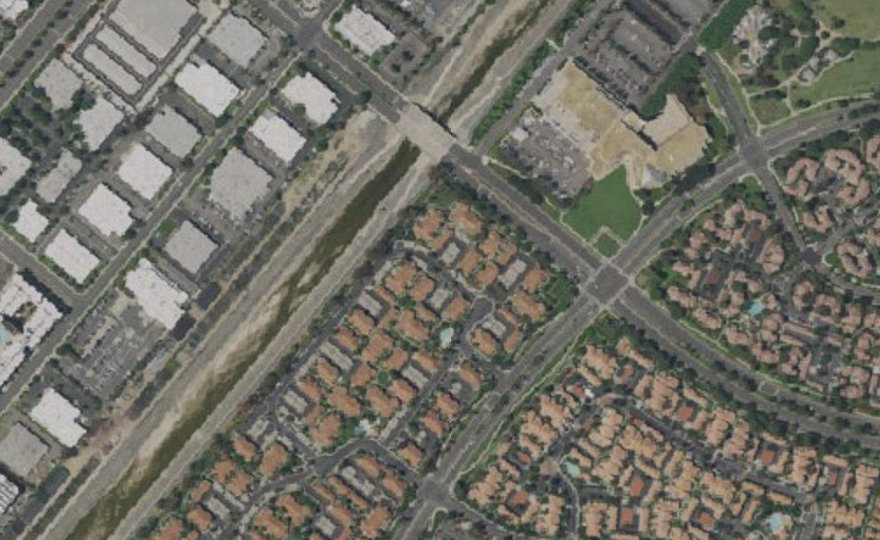
Place pins for main shutoffs, isolation valves, water meters, controllers, pumps, tanks, pressure regulators, backflow preventers, and other site-specific components.
Capture the system on a phone in the field, then review, edit, and export the map from a desktop when preparing owner, board, or vendor documentation.
Export property records as PDF, Word, Excel, or JSON so the information stays useful even when managers, contractors, or service teams change.
It is a mapped record of water-system assets such as shutoffs, meters, valves, pumps, irrigation zones, lines, photos, notes, and service status.
Yes. The app runs in the browser on phones, tablets, and desktop computers.
Yes. Maps can be exported as PDF, Word, Excel, and JSON backup files.