Map as billable documentation
Create a system map while servicing a property, then hand the client a record of shutoffs, valves, controllers, zones, main lines, and problem areas.
Irrigation contractor mapping
Irrigation contractors are often asked to service systems they did not install. MapMyWater helps crews turn field knowledge into a client-ready map that can be updated, shared, and exported after each job.
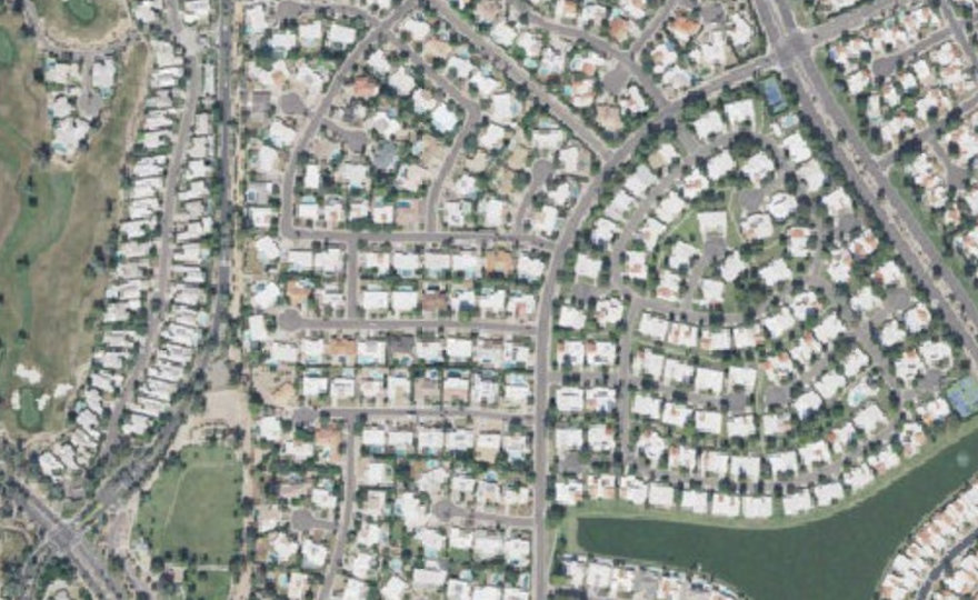
Create a system map while servicing a property, then hand the client a record of shutoffs, valves, controllers, zones, main lines, and problem areas.
New technicians can open the map before the next visit instead of hunting for buried valve boxes or asking the previous crew where the main shutoff is.
Give owners, managers, and boards read-only access while your team maintains the editable service record.
Yes. Contractors can map a client property, export a report, and share a read-only link while retaining edit control.
No. It is practical field documentation, not certified engineering, surveying, or utility locating.
PDF, Word, Excel, and JSON backup exports are available from the map workspace.